Marin public health tool gauges sea-level ‘vulnerability’
May 2, 2024
By KRISSY WAITE | kwaite@marinij.com | Click here to view on Marin IJ
A new online tool created by Marin County’s public health office aims to chart the risks various areas face from the rising sea level.
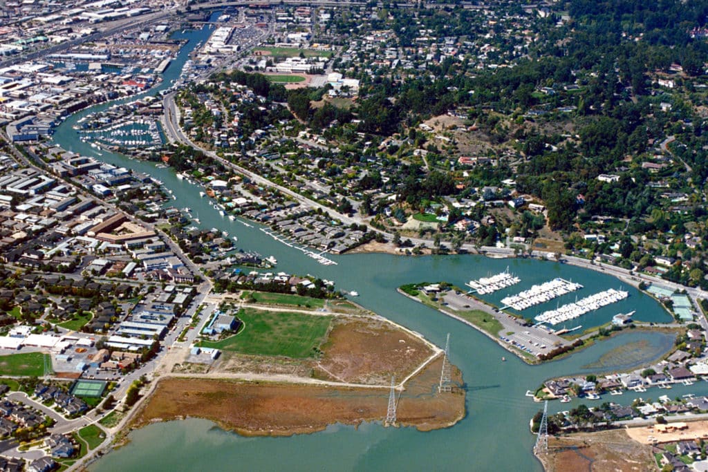
The “vulnerability” dashboard uses social factors as well as geographic ones as the basis for its determinations. The map identifies areas in Novato, Marin City, San Rafael, Mill Valley, Kentfield and Larkspur as most socially vulnerable and with the highest flood risk.
The dashboard is meant to be a community planning tool, said Dr. Matthew Willis, the county’s public health officer. He said that historically, flood risk has been measured by physical factors such as infrastructure, elevation and water flow.
“I think our tool, our goal, was to contribute to that conversation and to add important context to more dimensions around vulnerability,” Willis said. “But from a human health standpoint, any disaster, whether it’s a heat wave or a flood, the people who tend to suffer the worst consequences are people who have social vulnerability.”
Factors that make a community vulnerable include the rates of medical conditions and social isolation, especially for seniors. Additionally, deteriorating housing and infrastructure can make evacuation harder or might not survive climate-related events.
Lastly, social barriers — financial, cultural, lingual — can increase vulnerability by limiting access to transportation, information, health care, social services, and food.
Jocelyn Chung built the tool over about five months. Chung is in the California Epidemiologic Investigation Service Fellowship Program, which trains public health officials.
The dashboard is based on data from the U.S. Census Bureau and the California Department of Public Health.
“So we are able to identify those areas and, ideally, we can dedicate resources and plan interventions and strategies on those specific areas that are described as having high vulnerability demographic-wise and also high-flood-risk-wise,” Chung said.
Chung said the health effects of flooding go beyond injuries and displacement. Flooding can foster household mold, which causes respiratory health problems, and contaminate groundwater. Additionally, standing water increases the risk of infectious diseases.
Willis said displacement, homelessness and infrastructure disruption are huge concerns for public health officials. He said most of the deaths from Hurricane Katrina in 2005 were related to chronic illnesses like hypertension, diabetes, heart attacks and strokes.
“Especially for chronic illness, like people who use refrigerators to store their insulin, there’s a lot of disruption when people are displaced,” Willis said.
For example, the Canal neighborhood has both high social vulnerability and high flood risk. More than half of the surface area is covered by impervious surfaces, and more than 99% of the residents live in the flooding zone.
Socially, high percentages of the population — compared to the county’s metrics — are renters, low-income workers and people of color. Nearly 20% have lower English proficiency, and 35% are not U.S. citizens.
Cory Bytof, the sustainability program manager for San Rafael, said the city is aware of the factors that make the Canal area more vulnerable. He said the city has focused specifically on the Canal neighborhood on sea-level rise and flooding, and is collaborating with various nonprofits and organizations on related projects.
“The city was awarded approximately $1.5 million in grant funds to study options to reduce flood impacts due to sea-level rise and other factors specifically for Canal residents and businesses,” Bytof said.
Bytof said the dashboard will help make the case for focusing resources and projects in areas most vulnerable to a variety of climate effects.
The sea-level rise dashboard will be updated yearly. More dashboards are on the way to measure vulnerability to threats like heat and wildfires, according to Willis.
Willis said he hopes community leaders and local governments will use the dashboard to make efforts to address flooding caused by sea-level rise more equitable.
“We need to be planning for the reality that sea level is rising and will continue to rise, and our hope is that this tool will help us all take into account really important factors by adding a social piece,” he said.
The dashboard is at marinhhs.org/marin-county-climate-and-health.