This neighborhood in Marin is the most segregated in the Bay Area
October 7, 2021
San Francisco Chronicle article by: Susie Neilson
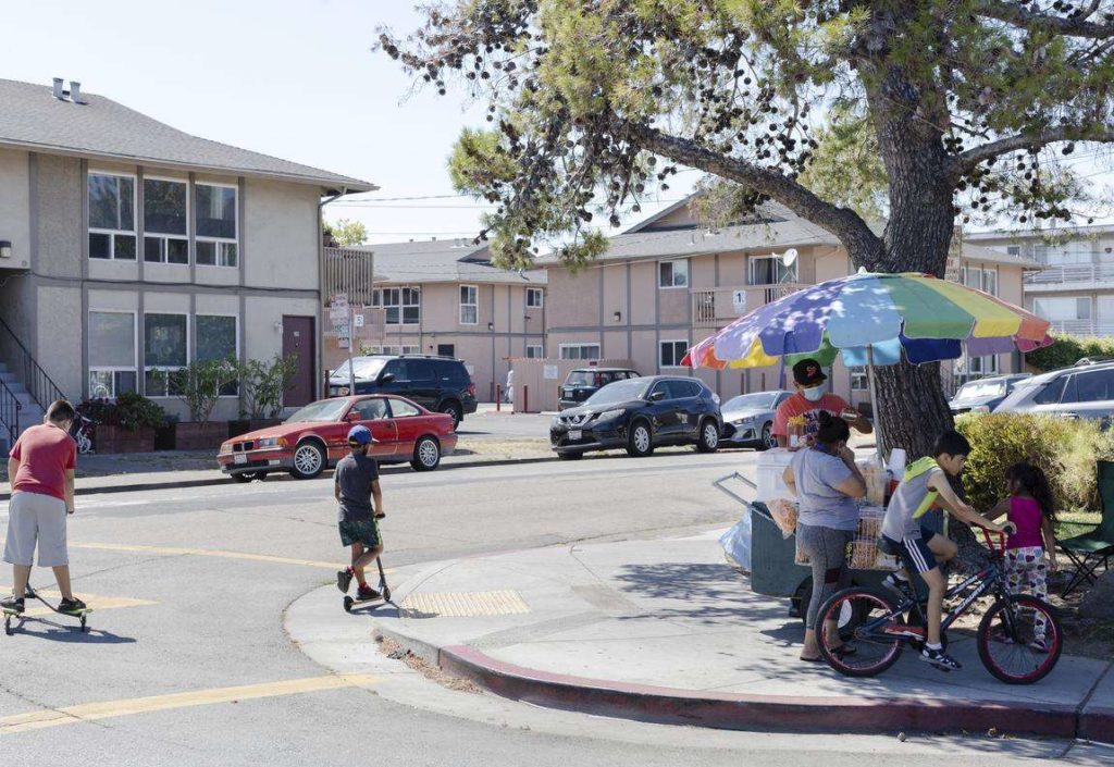
For many Bay Area residents, Marin County conjures up images of large single-family homes nestled in hilly woodlands, populated by affluent, mostly white families. The county’s median household income is $115,000, making it the third-highest-earning county in California. It’s also the whitest county in the Bay Area, with 66% of its population identifying as non-Hispanic white.
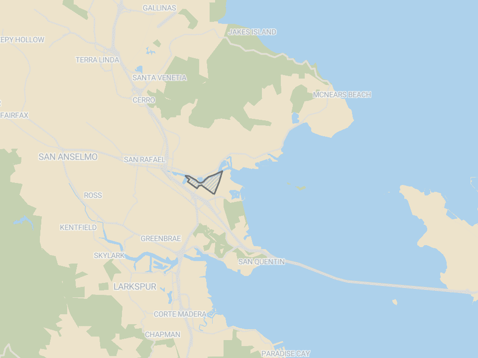
But there’s one neighborhood in the county that’s less than 5% white, and more than 90% Hispanic: the Canal area of San Rafael.
This neighborhood is the most racially segregated in the Bay Area, according to a new analysis by the Othering & Belonging Institute, a research organization that is part of UC Berkeley. The institute seeks to measure how residential segregation in the modern U.S. concentrates people of color in neighborhoods with fewer resources, with negative consequences for life expectancy, earnings potential and overall well-being.
Using population figures from the 2020 census, the institute examined the racial demographics of every neighborhood in the nine-county Bay Area and how each compared with its surrounding metropolitan area (the Bay Area has three metropolitan statistical areas centering on San Francisco, San Jose and Napa). They used these numbers to calculate a “divergence index” score for each neighborhood. The more a neighborhood’s racial makeup differed from its metro area, the higher its “divergence index.”
Based on this index, the Bay Area’s most segregated neighborhoods include the Canal area in Marin, Hunters Point and Chinatown in San Francisco, and several neighborhoods in East Oakland, including Elmhurst and Eastmont. What the institute refers to as neighborhoods are actually census tracts, geographic areas that typically have 1,000 to 8,000 people. Census tracts often correspond to neighborhoods, but don’t usually map onto them perfectly.